Maritime Heritage
For millennia, past human societies have depended on the sea for travel and trade, as well as for food and resources. Along the coastlines of the Middle East and North Africa (MENA), we can find evidence for these human activities in the form of archaeological sites including coastal settlements, ports, shipwrecks, shell middens, quarries, fish traps and fish tanks. Some of these sites are located on the present-day coast above the high water mark. Others are located on the seabed or foreshore and thus are fully or partially submerged.
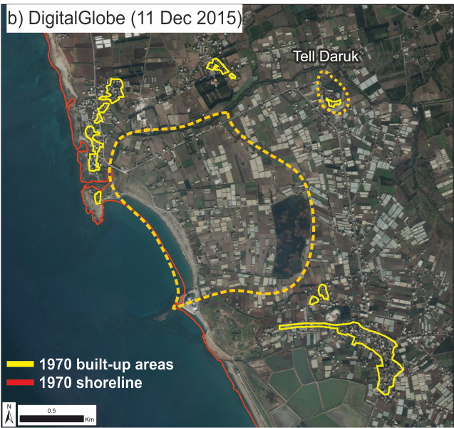
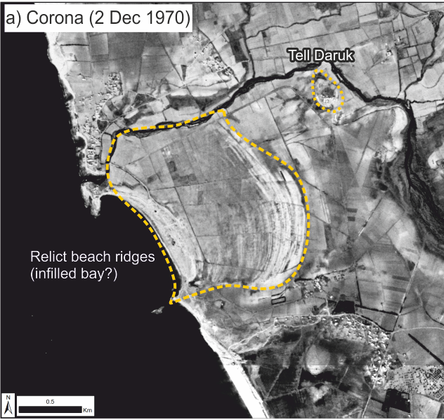
Coastal zones are very dynamic and ever-changing. Naturally, these changes can range from the impact of a storm in a few hours to the oscillation of the ocean surface in response to the melting and expansion of ice sheets over millennia. Humans too are starting to leave their mark though land reclamation, harbour expansion and exploitation of seabed resources. Consequently, there are very real threats to coastal and maritime cultural heritage from both natural and human causes. Crucially, these are becoming more prevalent given our rapidly changing climate and the increasing pace of coastal development and marine exploitation. Indeed, cultural heritage in the MENA region is being lost at an alarming rate and there is a critical need to document coastal and underwater heritage before it disappears.
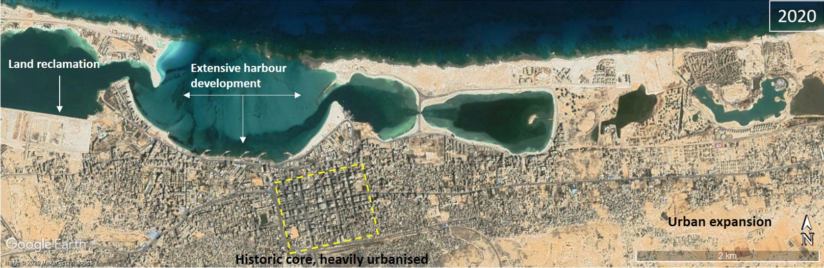
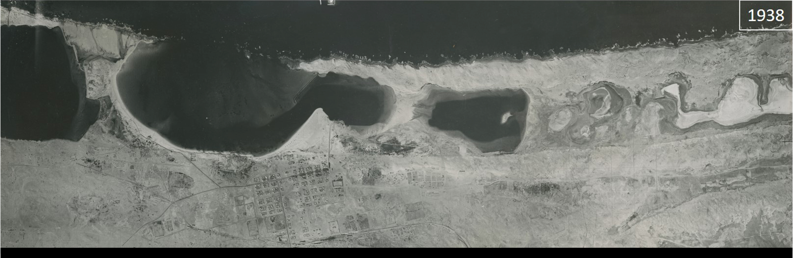
Documenting the resource is the first step towards developing sustainable management strategies for its future protection and interpretation. Drawing on the EAMENA methodology, the MarEA project documents the coastal zone in a comprehensive manner, recording coastal, near-shore and underwater sites visible from satellite images, aerial photographs and maps. From monitoring coastal erosion and accretion, to tracking urban development, MarEA evaluates cultural heritage at risk from natural and anthropogenic threats. Archaeological, geophysical and environmental datasets are also analysed, and, when appropriate, complemented by field observations and survey work.
Our work extends to documenting geoarchaeological evidence, which enables an understanding of past landscapes and environments and can indicate the potential for archaeological preservation.
The case study of Apollonia in this exhibition will showcase some of the threats and impacts to which maritime heritage sites are exposed. It also demonstrates some of the techniques and approaches we can use to interpret aerial photographs and satellite imagery. These enable us to derive insights into the nature of change from shoreline movement to urban expansion.